Last week we took a look at the wonderful landscapes of the central plateau of South Africa. From the vast open plains of the central Karoo to the rolling red dunes of the Kalahari. Today we continue our journey through the lowlands that surround the central plateau. Let’s start in the north. The Limpopo River forms the northern border of South Africa, it has carved out a low-lying valley that forms an arc around the northern central plateau. The climate of the northern Limpopo valley is extremely dry and hot. This is where the huge Baobabs Adansonia digitata are found! Towards the east, the Limpopo descends into a vast lowland region, most of which is in the neighbouring country of Mozambique.
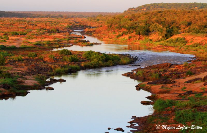
The eastern lowlands of South Africa are known as the Lowveld. The Lowveld is mostly savanna, with good grazing, and larger trees, such as Mopane Colophospermum mopane, Marula Sclerocarya birrea, and Leadwood Combretum imberbe. The climate of this region is characterized by mild winters from May to September and hot summers from November to March. Precipitation mostly occurs in the summer months in the form of high-energy thunderstorms.
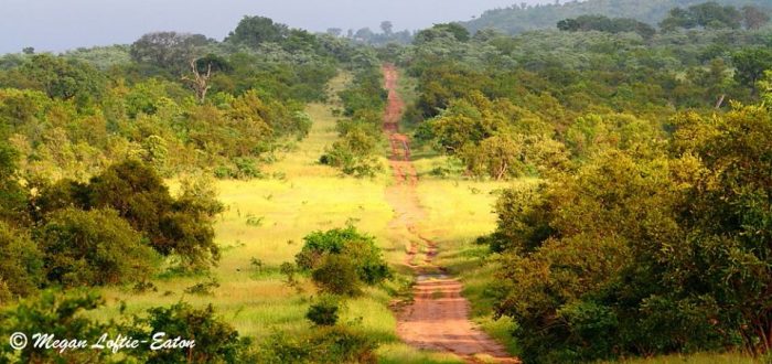
The Lowveld is the only part of South Africa where most of the large mammals still remain. The Kruger National Park, a jewel in the national heritage crown of South Africa, encompasses much of the eastern Lowveld. There are many other smaller national, municipal and private game reserves in the region too.
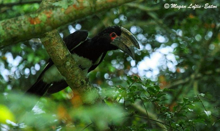
Between the Lowveld, Highveld and Bushveld, there is a rim of mountains forming a barrier. These include the northern Drakensberg mountain range; the Wolkberg range; and the Soutpansberg range. This rim of mountains blocks moisture-bearing rains towards the west and north, forming a ‘rain shadow’. By contrast, the eastern and southern slopes receive a lot of rainfall. In these moist regions forests are found – these form only a tiny proportion of South Africa’s surface area, but are lovely and magical. Some of the best forest habitats are in Magoebaskloof, only a short drive from Polokwane. On average, Magoebaskloof receives 2,500 mm of rainfall per year, providing for the luxuriant growth of trees, ferns, shrubs, mosses, lichens and other amazing plants. From above, the forest canopy looks soft and billowing, with various different greens and leafy textures; underneath the canopy, the forests are shady, the crooked trunks and branches clothed in soft mosses and lichens and the forest floor covered in ferns. Frequent mists turn the forests into a magical and mysterious place. These forests do not have many large mammals, but there are some, such as Bushpigs Potamochoerus larvatus, Red Duikers Cephalophus natalensis and Samango Monkeys Cercopithecus albogularis. Birds are abundant and diverse, as are the insects.

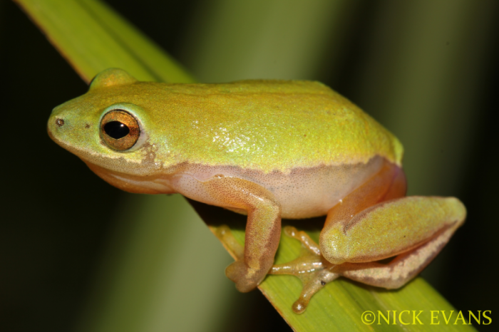
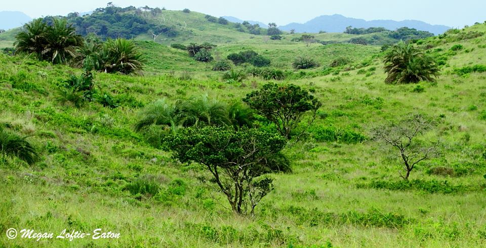
South of the Lowveld lies the coastal plains of Kwazulu-Natal. Moisture from the Indian Ocean sustains a dense coastal forest. On the more exposed dunes, the forests are replaced by rolling grasslands. Unfortunately, in many places these forests have been converted to sugarcane plantations, but there are some areas under conservation too. The coastal forest is characterized by low-growing trees and shrubs with dense crowns. Some of the interesting plants of note include the Wild Date Phoenix reclinata and Lala Palm Hyphaene coriacea trees, Strelitzias Strelitzia nicolai, and coastal Aloes. Dune forests also have high insect, reptile and amphibian diversity, like the Endangered Pickersgill’s Reed Frog Hyperolius pickersgilli.
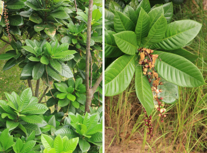
In and around the coastal estuaries, a special kind of forest called Mangrove Forest is found. This consists of salt-resistant trees that are adapted to root in the soft mud and sand of the tidal flats. Some of these trees have stilt-roots, others have ‘upside down’ roots (pencil-like ‘fingers’ that poke out from the mud and allows the tree to ‘breathe’) or knee-roots. Mangrove trees include members of the genera Bruguiera and Avicennia, and the lovely Powder-Puff Tree Barringtonia racemosa. Mangroves are very important for protecting the coastline from erosion and ocean surges, they also help to “trap” soil that would otherwise wash out to sea. Unfortunately, lots of mangroves have been destroyed to make way for harbours and coastal cities.
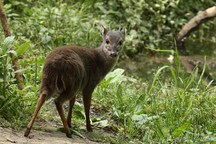
In a few places along the coast, the forest becomes taller and includes some large forest trees such as the Water Berry Syzygium cordatum and the Red Milkwood Mimusops caffra. Coastal forests have a somewhat greater diversity of mammals and birds than the forests further inland, including interesting species like the Tree Dassie Dendrohyrax arboreus (yes, an arboreal hoofed mammal!) and the tiny Blue Duiker Philantomba monticola.
The northern parts of the coastal plain broaden into a region called Maputaland. Maputaland is bordered by the Ubombo Mountains in the west and the Indian Ocean in the east. It covers an area of about 10,000 square kilometers, stretching approximately from the town of Hluhluwe and the northern section of Lake St. Lucia (actually a huge estuary) to the southern border of Mozambique with South Africa. This region is almost tropical in climate and is home to plant species that aren’t found anywhere else in South Africa. Wildlife is also abundant as much of the region is conserved in the iSmangaliso Wetland Park.
In PART THREE of this blog series we keep traveling through the rainbow of landscapes that is South Africa, along the midlands towards the Cape Fold Mountains. Watch this space!

Excellent. Thank you.